Raster tile sources
With Nutiteq Starter, Pro or Enterprise plans (not Lite) you can use any raster tile map source: your own, 3rd party etc. Here is collection of various raster map tile sources.
To use following tile sources use HTTPTileDataSource, and create RasterTileLayer using it. The DataSource constructor takes URL pattern which are given below, and requires also minimum and maximum zoom levels. For all above 0 is minimum zoom, and maximum varies from 14 to 19.
Code sample
  TileDataSource tileDataSource = new HTTPTileDataSource(
    0, 18,
    "http://your-url-with-placeholders-see-below");
  RasterTileLayer layer = new RasterTileLayer(tileDataSource);
  mapView.getLayers().add(layer);
CARTO Base map tiles
http://cartodb-basemaps-c.global.ssl.fastly.net/light_all/{zoom}/{x}/{y}.png
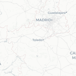
Free base map
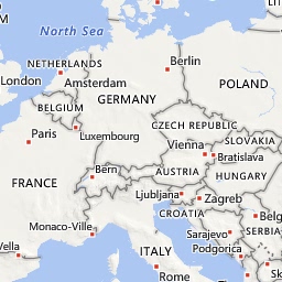
OpenStreetMap Mapnik tiles
http://a.tile.openstreetmap.org/{zoom}/{x}/{y}.png

Free for limited use. See tile usage policy
MapBox raster tiles
http://api.mapbox.com/v4/{mapid}/{zoom}/{x}/{y}.png?access_token=<your access token>

See MapBox API spec for details and to create access token. MapBox Terms & Feedback.
Stamen Toner
http://a.tile.stamen.com/toner/{zoom}/{x}/{y}.png

Please contact http://www.stamen.com
Stamen Watercolor
http://tile.stamen.com/watercolor/{zoom}/{x}/{y}.png

Please contact http://www.stamen.com
Stamen Terrain - US only
http://tile.stamen.com/terrain/{zoom}/{x}/{y}.png

Please contact http://www.stamen.com
Microsoft Bing Maps
http://ecn.t3.tiles.virtualearth.net/tiles/r{quadkey}.png?g=1&mkt=en-US&shading=hill&n=z
Commercial terms of Bing Maps API. Must use Get Imagery Metadata Bing Service to get supported URL parameters.
Microsoft Bing Aerials
http://ecn.t3.tiles.virtualearth.net/tiles/a{quadkey}.jpeg?g=1&mkt=en-US

Commercial terms of Bing Maps API. Must use Get Imagery Metadata Bing Service to get supported URL parameters.
ESRI World Imagery (and other ESRI basemaps)
http://services.arcgisonline.com/arcgis/rest/services/World_Imagery/MapServer/tile/{zoom}/{y}/{x}
Terms and more info. ArcGIS Developer service subscription is required (from $20/mo).
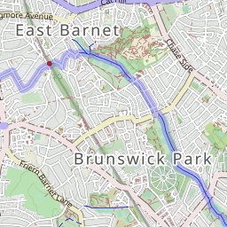
OpenCycleMap
http://a.tile.opencyclemap.org/cycle/{zoom}/{x}/{y}.png
OpenCycleMap Transport
http://a.tile2.opencyclemap.org/transport/{zoom}/{x}/{y}.png
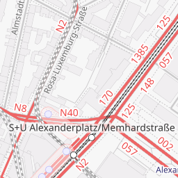
Free to use. Source: Thunderforest
USGS Topo National Map (US Only)
http://basemap.nationalmap.gov/arcgis/rest/services/USGSTopo/MapServer/WMTS/tile/1.0.0/USGSTopo/default/GoogleMapsCompatible/{zoom}/{y}/{x}
Copyright: USGS The National Map: National Boundaries Dataset, National Elevation Dataset, Geographic Names Information System, National Hydrography Dataset, National Land Cover Database, National Structures Dataset, and National Transportation Dataset; U.S. Census Bureau - TIGER/Line; HERE Road Data. USGS MapServer